


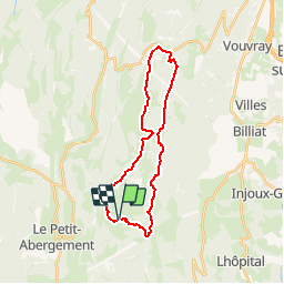


5.3 km | 7.1 km-effort

User


FREE GPS app for hiking
 SityTrail
IGN / Geographical institutes
SityTrail World
The world is yours!
Trail Mountain bike of 24 km to be discovered at Auvergne-Rhône-Alpes, Ain, Haut Valromey. This trail is proposed by tracegps.
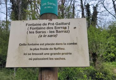
Espace VTT - FFC du Bugey - Circuit n° 16 - Les Plans d'Hotonnes. Circuit officiel labellisé par la Fédération Française de Cyclisme. Le relief de moyenne montagne du Plateau d’Hauteville permet tout naturellement la pratique du VTT. Des itinéraires accessibles à tous, du vététiste bucolique au plus sportif. L'Espace sportif des Plans d'Hotonnes accueille tous les loisirs de glisse sur quatre saisons. L'été, vous pourrez pratiquer le biathlon en compagnie d'un moniteur, le trikke ou le roller dans un cadre d'apprentissage privilégié et sécurisé.


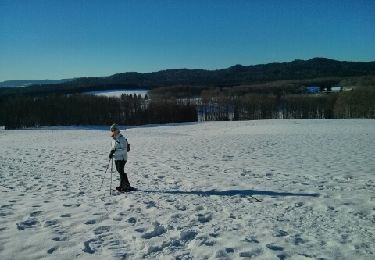
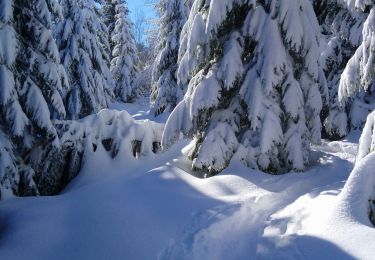
Snowshoes

Mountain bike
Walking
Walking
Walking
Walking

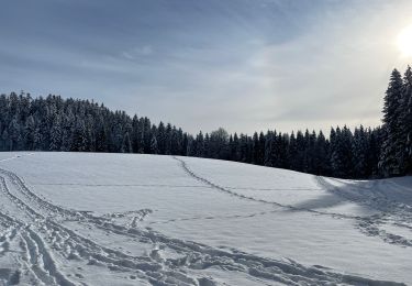
Snowshoes
Walking
Walking